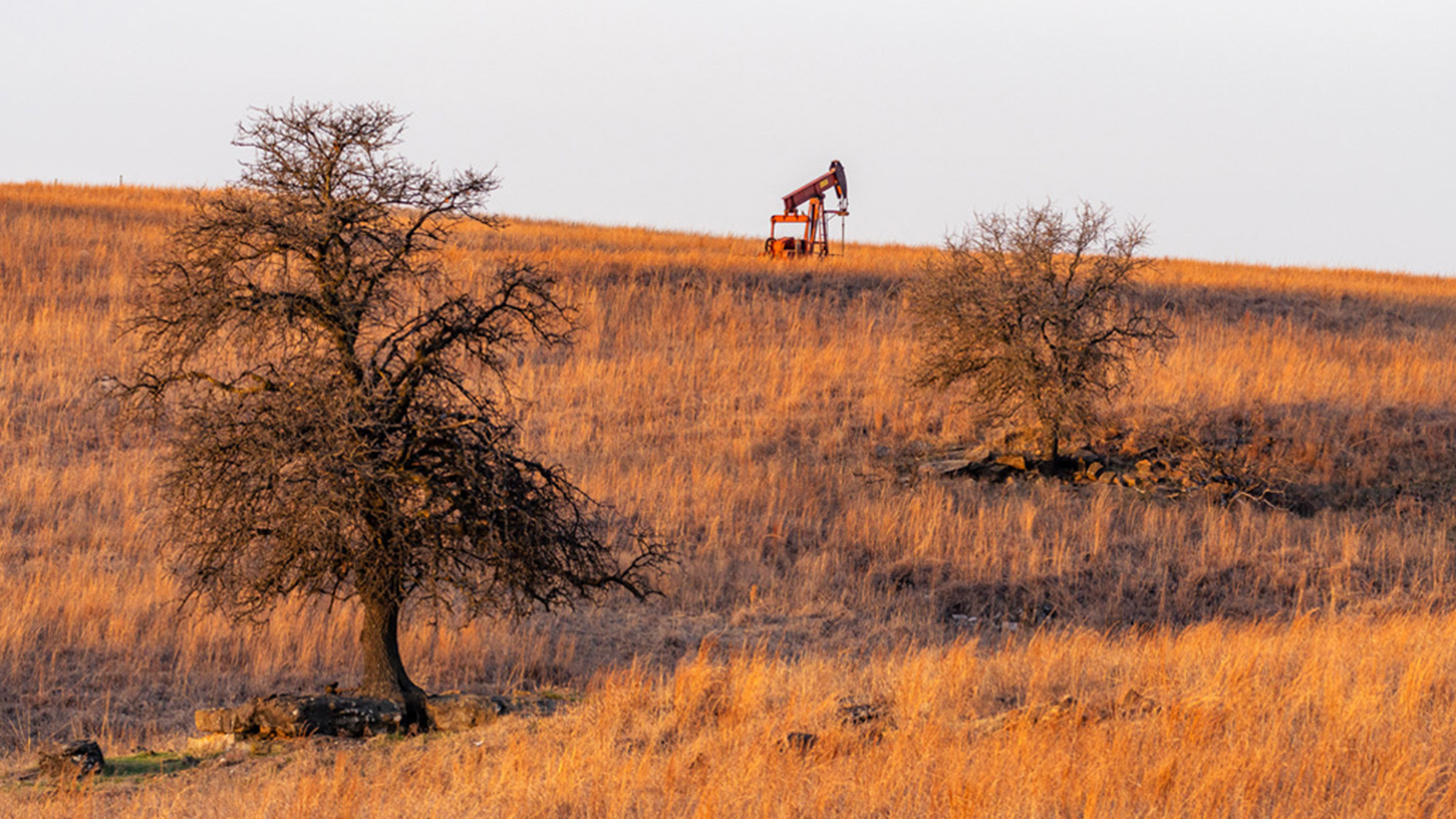
The continental United States is jam-packed with reminders of our ravenous oil appetite. Since the 1850s, there have been an estimated 3.5 million oil and gas wells drilled across the country. Many of those were abandoned after the companies running them ran out of business or otherwise ceased operating. These forgotten fossil fuel artifacts, referred to officially as “undocumented orphan wells” (UOWs) are often left behind without meaningful efforts taken to safely seal them. Unplugged orphan wells can leak out dangerous methane, oil, and other chemicals for years which can pollute the air and potentially contaminate nearby water sources. The Bureau of Land Management suspects there are still 130,000 of these unplugged old wells scattered throughout the US. Industry organizations like the Interstate Oil and Gas Compact Commission believe that number might be closer to 740,000.
Finding and plugging those wells is a laborious, time-consuming task. Researchers spend countless hours pouring over hundreds of thousands of old maps, some dating to the mid-19th century, looking for references to wells that aren’t currently accounted for in official records. Artificial intelligence might make that process much faster. Researchers from the US Department of Energy’s Berkeley Lab have created a new vision neural network model trained on over 100 years worth of maps they say can identify previously uncovered orphan wells within 10 meters of their actual location. Researchers have already confirmed the presence of 44 of the 1,301 potential wells identified by the model in California and Oklahoma. Once scaled up, the researcher believes this new AI-driven approach could help make meaningful inroads in finally bringing these long dormant wells fully offline.
AI model was trained on thousands of topographical maps
Researchers detailed their process for training the AI in an article published this week in the journal Environmental Science & Technology. The team trained their AI mode specifically to identify a symbol shaped like a hollow black circle that was commonly used to identify oil and gas well in topographical maps. A human data labeller spent 40 hours manually identifying examples of these symbols which then served as the AI model’s training set. When training the AI, the researchers had to account for other symbols or makers with similar-looking circular patterns that could be mistakenly identified and result in false positives. Even rounded symbols like the numbers “9” or “0” could potentially become false positives. Some maps were in relatively good condition, but others were worn down over time and stained. Berkeley Lab scientist and paper senior author Charuleka Varadharajan compared this process to “finding a needle in a haystack.”
Once the AI was fully trained to detect the well symbols, the researchers then unleashed it on thousands of maps limited to four oil-rich counties in California and Nevada. The model came back with 1,301 potentially undocumented orphan wells. Researchers then tried to verify those findings by analyzing aerial and satellite images from Google Earth. They hovered over the areas identified by the AI and looked for features like oil derricks, pump jacks, and storage tanks that would suggest a well’s prince. The team verified 29 previously undocumented wells using this visual method.

But not all abandoned wells are necessarily visible with aerial imagery. Many are cut off below the surface. In those cases, researchers need to conduct in-person field tests where they use backpack-mounted magnetometers to detect magnetic anomalies that suggest the presence of vertical metal pipes buried beneath the ground. The researchers were able to verify 15 more of the wells using this method.
“We intentionally chose to have more false negatives than false positives, since we wanted to be careful about the individual well locations identified through our approach,” Varadharajan added. “We think that the number of potential wells we’ve found is an underestimate, and we might find more wells with more refinement of our methods.”
AI predictions can work in tandem with well-detecting drones
The researchers are hoping to pair the AI’s predictive power with other modern technology like sensor-equipped drones to rapidly accelerate the rate scientists can detect, and ultimately plug potentially leaky wells. In the future, drones outfitted with magnetometers could quickly deploy to areas where aerial detection isn’t possible. Other drones equipped with methane sensors could measure the air for leakage. Drone adorned with hyperspectral cameras, meanwhile, could scan areas for wavelengths associated with methane plumes that would otherwise be undetectable to the human eye.
“AI can enhance our understanding of the past by extracting information from historical data on a scale that was unattainable just a few years ago,” Lawrence Berkeley National Laboratory postdoctoral fellow Fabio Ciulla said in a statement. “The more we go into the future, the more you can also use the past.”


